
 KOR
KOR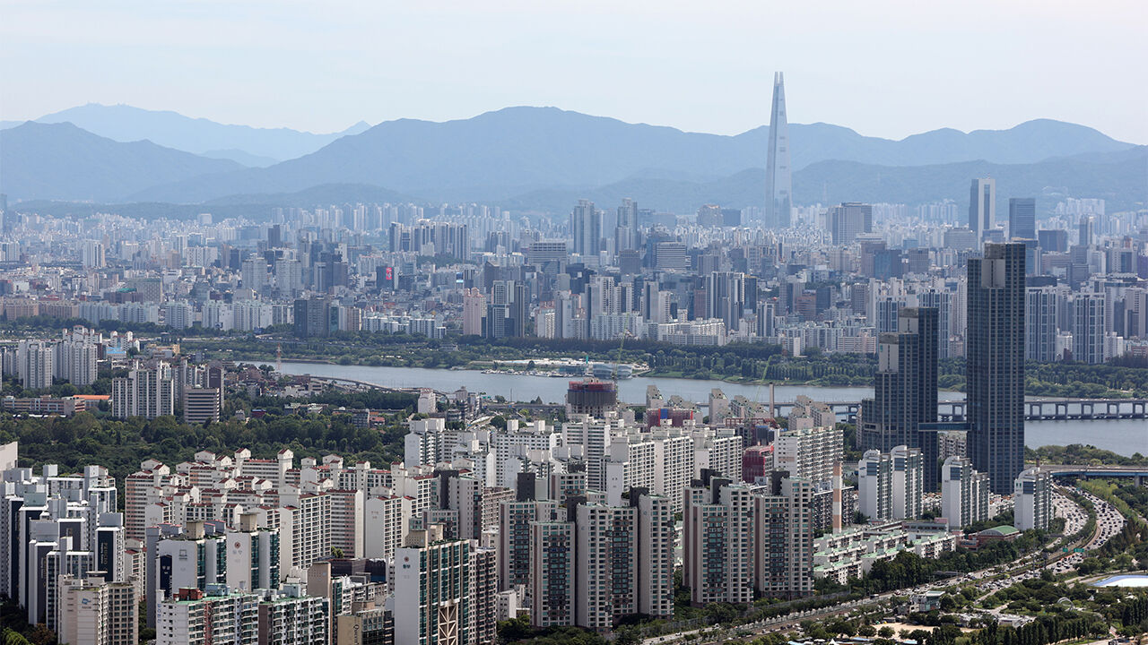
▲ Apartments viewed from an observatory
It has been found that 92.1% of the total population resides in urban areas, which account for 16.7% of the nation's land.
The Ministry of Land, Infrastructure and Transport and the Korea Land and Geospatial Informatix Corporation (LX) announced the "2025 Urban Planning Status Statistics" containing these findings today (the 20th).
As of the end of last year, the national land area designated for zoning stood at 106,563 square kilometers. Among them, urban areas—including residential, commercial, industrial, and green zones—accounted for 17,740 square kilometers, or 16.7% of the total.
Out of the total registered population of 51.12 million, 47.06 million people lived in urban areas, accounting for 92.1%.
By zoning category, agriculture and forestry areas were the largest at 49,191 square kilometers, taking up 46.2% of the total.
They were followed by management areas at 27,329 square kilometers (25.6%), urban areas at 17,740 square kilometers (16.7%), natural environment conservation areas at 11,874 square kilometers (11.1%), and undesignated areas at 429 square kilometers (0.4%).
Among urban areas, green zones took up the largest share at 12,555 square kilometers (70.8%), followed by residential areas at 2,791 square kilometers (15.7%), industrial areas at 1,292 square kilometers (7.3%), and commercial areas at 349 square kilometers (2.0%).
Compared to 2021, residential areas increased by 51 square kilometers (1.9%), industrial areas by 51 square kilometers (4.1%), and commercial areas by 7 square kilometers (2.0%).
In contrast, green zones decreased by 37 square kilometers (0.3%).
In areas outside of urban zones, management areas decreased by 30 square kilometers (0.1%) and agriculture and forestry areas decreased by 10 square kilometers (0.02%) compared to 2021, while natural environment conservation areas increased by 13 square kilometers (0.1%).
Growth management planning zones, designated to prevent haphazard development, stood at 13,801 locations covering 4,692 square kilometers last year.
The designated area has been on a sharp upward trend since January 2024, when it became mandatory to establish growth management plans in order to build factories in planned management areas.
Development activity permits for building construction or land modification totaled 169,319 cases last year, maintaining a downward trend over the past five years.
By type, building construction was the most common at 84,618 cases (50.0%), followed by land modification at 47,938 cases (28.3%), and the installation of structures at 24,418 cases (14.4%).
Urban and county planning facilities, such as roads, parks, and general medical facilities, totaled 369,000 facilities covering 7,237 square kilometers.
By facility type, transportation facilities such as roads and railways took up the largest space at 2,319 square kilometers (32.0%), followed by disaster prevention facilities such as rivers and retention basins at 2,294 square kilometers (31.7%), and spatial facilities such as parks, green spaces, and plazas at 1,171 square kilometers (16.2%).
Unexecuted facilities—those designated as urban and county planning facilities but not yet built—stood at 427 square kilometers, down 25 square kilometers from the previous year.
This accounts to 5.9% of the total area designated for urban and county planning facilities.
Among them, long-term unexecuted facilities that have remained unbuilt for 10 years or more since their designation amounted to 315 square kilometers last year, a decrease of 554 square kilometers (63.8%) from 869 square kilometers in 2015.
Over the past five years, the designated and executed areas of urban and county planning facilities have continued to grow, while unexecuted areas have maintained a downward trend.
(Photo: Yonhap News)
※ Please note: This article was translated by AI and may contain errors.



 Video News
 Video News
 Video News
 Video News
 Video News